LATITUDO 40

HomeAboutTechnology

Products

LAURAEARTHDATAINSIGHTENVIROSENSINGEARTHDATAPLACE

Markets

CLIMATE RESILIENCE IN CITIESURBAN PLANNINGAGRITECHINSURTECH
Use casesBlogJob openingContact

Email

Form

Office

Menu

Search The Site

Blog

I'm interested

Explore

satellite imagery

August 29, 2025

Satellite imagery for ESG reporting

Read
urban area of Catania

August 8, 2025

Urban EVOLUTION: Nature-Based Solutions for heat and air pollution

Read
simulation model applied to an urban area

July 25, 2025

Simulation Models for sustainability, urban planning and smart cities

Read
forestry surviving wildfire

July 18, 2025

Nature-based Solutions For Wildfire Risk Reduction And Management

Read

June 26, 2025

Latitudo 40 and Planet partner to enhance Global Climate Resilience through Hyper-Local Earth Observation

Read
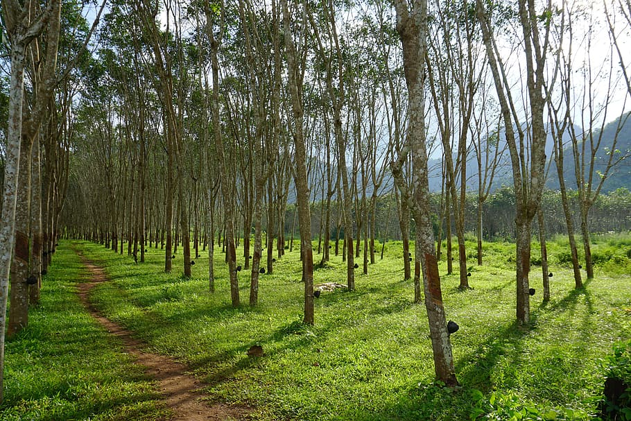
forestry

May 29, 2025

Envirosensing: Your Key to Deforestation-Free Rubber Sourcing

Read

May 26, 2025

Introducing the New Version of EarthDataPlace

Read

April 7, 2025

The Impact of the Wood Industry on Deforestation and Climate Change: Understanding EUDR Compliance

Read

April 1, 2025

Using Envirosensing to Monitor Cattle Supply Chains and Prevent Deforestation

Read
satellite imagery of Naples

March 25, 2025

Unlocking the Power of Open Data: How BeOpen is Transforming Public Sector Information

Read
soy sourcing

March 18, 2025

EUDR Compliance and Beyond: Using Satellite Data to Ensure Sustainable Soy Sourcing

Read
Latitudo40's CEO Gaetano Volpe

March 5, 2025

From Satellite Data to Climate Action: How Latitudo 40 is Transforming Urban Resilience with AWS

Read
coffee cultivation

March 4, 2025

The Growing Environmental Cost of Deforestation in Coffee Cultivation and how to solve it

Read
a deforested area

February 26, 2025

EUDR and the Role of Satellite Data in Deforestation Compliance: How Envirosensing by Latitudo 40 Enables Transparent Supply Chains

Read
flooded town

January 13, 2025

Italy’s Mandatory Natural Disaster Insurance: A Challenge and an Opportunity with Latitudo 40

Read
forestry nearby a river

December 9, 2024

Nature and Data: The Core of EVOLUTION’s Strategy for Urban Resilience

Read
cop29 banner

December 6, 2024

COP29: Progress Made, But Much More Needs to Be Done

Read
urban area sorrounded by heat

November 19, 2024

Urban Heat Islands and Sustainable Cities: Project Evolution's solutions

Read
satellite imagery depicting building height

November 15, 2024

Empowering Urban Planning with the Building Height Layer

Read
satellite imagery of london

October 12, 2024

The Microclimatic Performance Index: Using Data to Build Resilient Cities

Read
satellite imagery depicting heatwave risk

August 5, 2024

Real-World Applications of Heatwave Risk Layers: A Genoa Case Study

Read
Satellite imagery depicting albedo layer

July 25, 2024

The Role of the Albedo layer in enhancing urban environments

Read
urban forestry in paris

July 23, 2024

Urban Forestry in Paris: A Bold Step Towards Combating the Urban Heat Island Effect

Read
Who we are

Latitudo 40 is an innovative startup in the field of Earth Observation, born from the passion, expertise, and experience of a team united by a common goal: to improve the planet through satellite technologies. We define ourselves as a lean organization, basing our success on the principles of user-centered design.

Get in touch
Instagram
Facebook
LinkedIn
Youtube

Home page

About

Technology

Uses Cases

Blog

Job Position

Contact

Subscribe newsletter

Project realized with the co-financing of FESR 2014-2020 and of the European Union
AVVISO PUBBLICO CAMPANIA START UP 2020 – CUP B61B19001080007
‍
AVVISO PUBBLICO CAMPANIA START UP – CUP B62C18000260007

“Misura di sostegno alle MPI Campane attraverso il Fondo Regionale per la Crescita Campania” – CUP B29J21029510009
Vat Number 08702381214 - powered by SOMASPACE
Privacy Policy
Cookie Policy