.svg)


Search The Site

.svg)
Search The Site
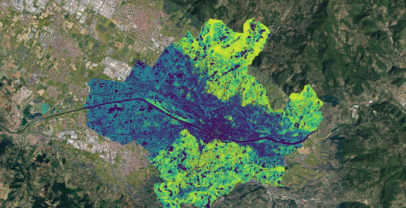
Select project-ready layers from our catalog
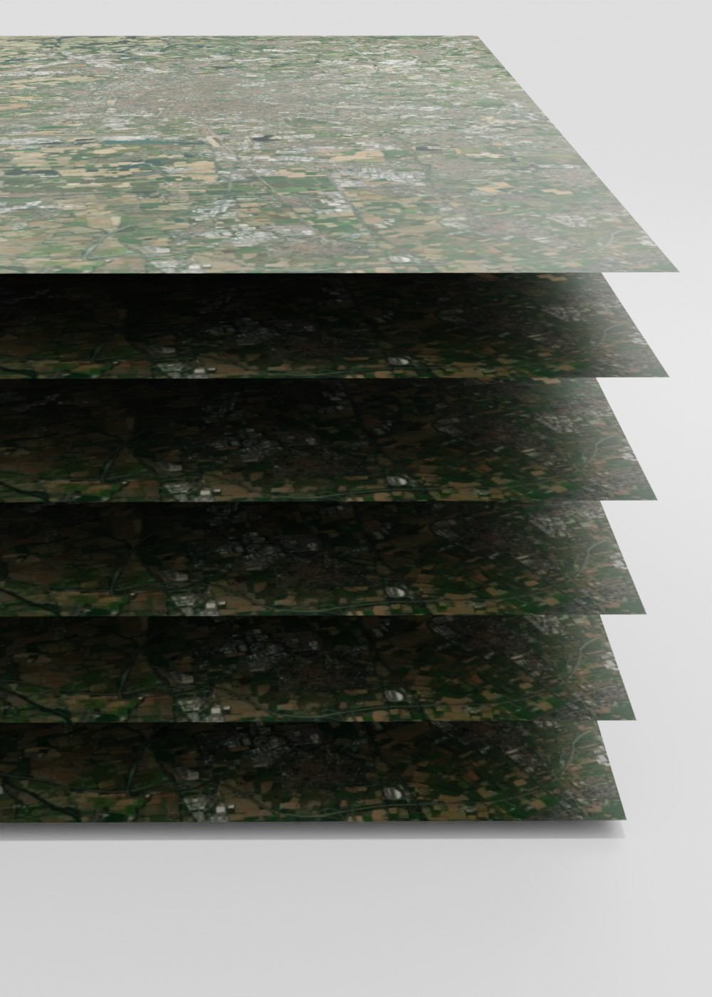
Submit a custom request to receive tailor-made satellite data
Tailor your access to EarthDataPlace around the environmental monitoring and climate risk challenges that matter to you.
Local Institutions & Public Administrations
Turn territorial data into better public decisions. EarthDataPlace helps public authorities understand, monitor and manage their territories through reliable geospatial intelligence. From land-use planning and infrastructure development to environmental monitoring, climate risk and emergency response, access the insights needed to design more effective policies and build more resilient communities.
Organizations and companies
Make better decisions with a clearer view of the territory. From agriculture and forestry to mining, real estate and infrastructure, EarthDataPlace helps businesses access the geospatial intelligence they need to monitor land, assess environmental conditions and plan with greater confidence.
Professionals & Experts
From complex data to actionable environmental insight. EarthDataPlace gives environmental professionals access to the geospatial data they need to support ecological studies, biodiversity assessments and impact analyses—enabling deeper spatial analysis for conservation, planning and environmental decision-making.
Urban Planners & Architects
Design better places with the environment in view. EarthDataPlace supports planners and architects with environmental and geospatial intelligence to better understand the territory, assess the impact of development and design more resilient, sustainable urban environments.
Academic & Research Institutions
Explore, analyse and innovate. EarthDataPlace gives students and researchers access to reliable, up-to-date geospatial data to support research across environmental, spatial and Earth Observation disciplines—turning data into new knowledge and innovation.
Latitudo 40 is an innovative startup in the field of Earth Observation, born from the passion, expertise, and experience of a team united by a common goal: to improve the planet through satellite technologies. We define ourselves as a lean organization, basing our success on the principles of user-centered design.